
Prior to leaving Warderick Wells north mooring field we managed to find a piece of driftwood and create a boat shingle for Boo Boo Hill and placed it there with the many others.


You can see “Wind Dust” on the mooring behind the picture of the shingle I took to the top of the hill.

We also attended a cruisers happy hour on the beach Tuesday afternoon. We met many cruisers we had heard on the VHF radio. Great time and great food and as usual Ginny made friends with the locals.


We left the north mooring field at Warderick Wells Wednesday, March 23 at 8:30 am along with our cruising buddies Mike and Barb on “Goose Bumps” headed for Powell Point and Cape Eleuthera Marina.

This leg of our trip took us across Exuma Sound (which can be a rough body of water) to the banks of Eleuthera. We had a beautiful crossing and pulled into the marina around 2:00 pm. The afternoon was filled with chores (laundry, trash, boat cleaning) and a little beer drinking to celebrate the crossing.

Thursday we and our buddies had a car reserved and hit the road to Rock Sound to re-provision the boat. There’s a great grocery store in Rock Sound and we were able to purchase almost everything we needed at reasonable prices. On Eleuthera Island you either have a car or use your thumb. The Island is extremely hitchhiker friendly and is approximately 100 miles long.

 We also stopped at a famous “Ocean Hole” in Rock Sound. Ocean holes are inland salt water ponds that are connected to the ocean by underground caves. The ocean holes have lots of sea life and experience the same tidal flux as the nearby ocean and sound. Apparently Jacques Cousteau and a team of his divers tried to find the cave connection to this particular ocean hole however were unsuccessful.
 Friday we left Cape Eleuthera Marina headed for Hatchet Bay. Hatchet Bay Harbour is a small anchorage that was created when they blasted a channel through the rock bluffs connecting an inland lake to the ocean.
 The opening to Hatchet Bay is only 90 ft wide and from the water seems even narrower with the jagged sides. The wind on Friday was out of the southwest and the seas were pushed up against the coastal cliffs adjacent to the cut which made for what we call a “Tight Sphincter Approach (TSA)” through this small opening.
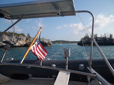 To make things worse there was a small boat in the channel as we approached and it turned out to be a local diving for lobster who pulled the boat out of our way. We set the hook and relaxed the rest of the afternoon enjoying the calm waters of Hatchet Bay. Note the pictures were taken on our way out the next day and the seas were calm.
 Warning - Ginny Says This Section is BORING. I say It's for anyone who will transit the cut in the future for the first time.
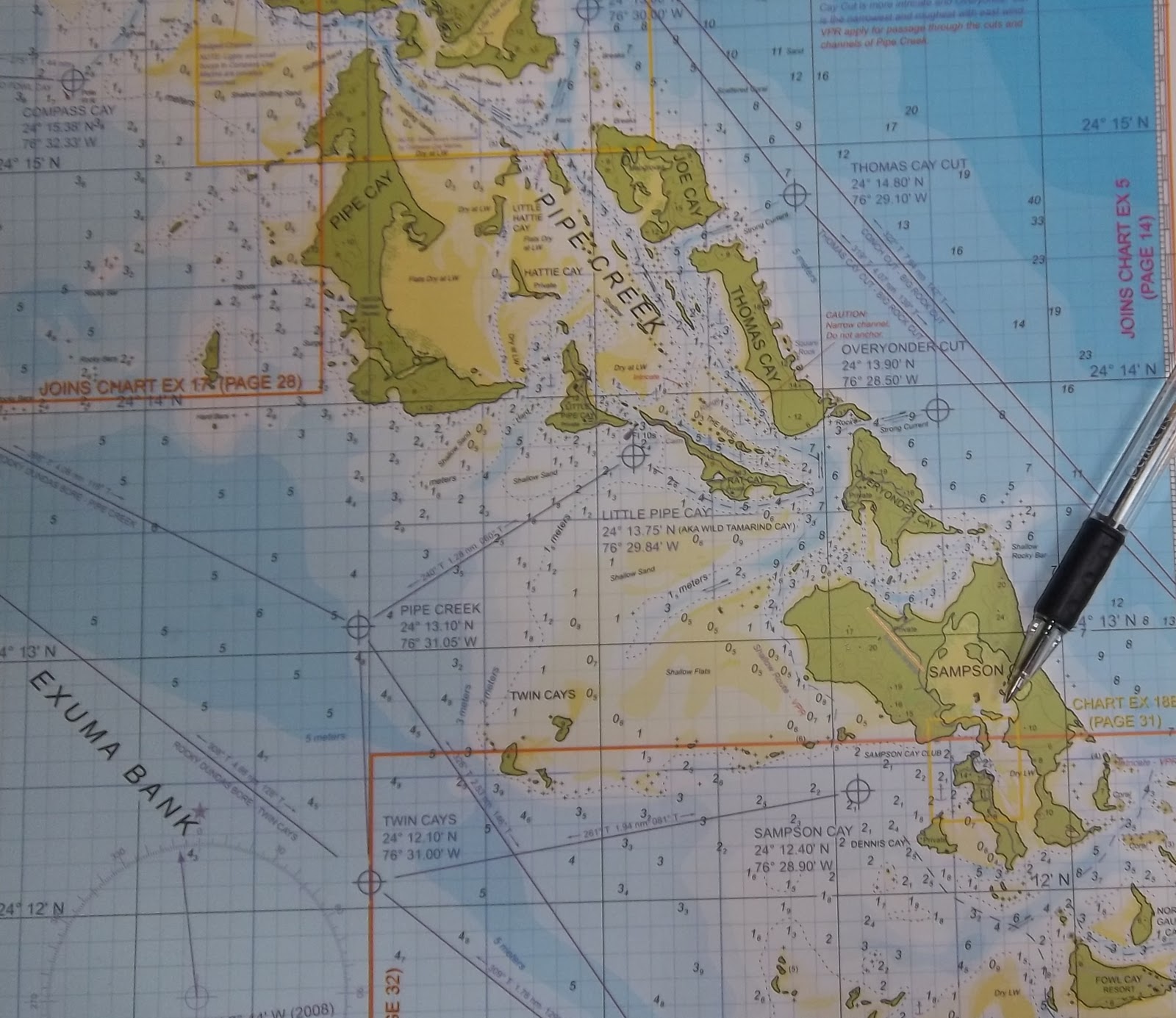
Saturday we were off to take on the dreaded Current Cut. Current Cut is a small inlet between Current Island and Eleuthera Island which carries tide water to and from the shallow Great Bahamas Bank and the Northeast Providence Channel. The current can be extremely strong (some say 10 knots during spring tides) and the route through the cut is not at all straight forward for deep draft displacement hull sailboats. To further complicate matters there seems to be a lot of different opinions on how the tides are related to the Nassau Tide Tables. We timed our arrival at Current Cut so we could determine the slack flood tide visually and also run the preferred route through cut in the dink and also sound the route with our hand held depth sounder. Why all the trouble? Well many sailboats have gotten into serious trouble here and we wanted to make sure we got it right. Cruising friends of ours who have made this passage several times before ran aground in the cut just a couple weeks ago and another experienced cruising boat that came in behind us said they ran aground coming through this past November.

Mike lowered their dinghy and picked me up. We ran the route at approximately 12:20 pm (2 hours before high tide at Nassau) and found the route had plenty of depth ( 8.5 ft in one spot was the shallowest) and that the current was running west to east at about 2.5 knots on the surface. The wind direction was from the south southeast at about 12 to 15 kts which created some steep waves to negotiate on our trip back to the boats. We decided to wait until 2:45 pm before we made our run through the cut. As it turned out we made it through just fine and encountered a 1 to 1.5 kt west to east current. Our little study confirms to me that the current prediction for Current Cut runs approximately 1.5 hours behind the Nassau Tide Tables. The other thing to note is time the passage so you run against the current for maximum control and time it an hour before high slack tide. I have placed the way points for the route we ran for anyone who would like to use them. Our vessel has a draft of 6 ft.
Once we passed current cut we headed for Royal Island for the evening. Royal Island has a well protected anchorage and was planned to be the home of a major resort and marina which Roger Staubach is a partner. Apparently the the plan is on hold for now. There were at least 15 vessels anchored in the harbor as this is a favorite anchorage to stage the crossing to the Abacos. The wind picked up and shifted to the south during the night and one vessel slipped anchor. Ginny and I took turns at anchor watch from around 1 am till dawn and our anchor held.

Our original plan was to head for Little Harbor in the Abacos the next day as the weather looked like it would be good for a crossing. As it turned out however everyone was ready for a little rest so we decided to head for Spanish Wells Yacht Haven. We waited for a few hours after low tide before shoving off so we would have a little more water depth on the rising tide. Like a lot of places in the Bahamas the charts show just enough water for a 6 foot draft vessel to make it in at mean low tide however with any wave action the boat could bounce off the bottom. The short trip was uneventful and we pulled into the marina around 11:00 am. Ginny and I rented a golf cart and explored the island.


This is a special and beautiful place. Spanish Wells is the home of the Bahamas Fishing Fleet and the Lobster Capitol of The Bahamas. The island is very clean and much pride is taken in the multicolored homes with their beautiful gardens and landscaping. The working waterfront is also well maintained and melds well with the homes and business. We will have more on


Norma's home of the Confused Sub - It's Awesome.

We unloaded our provisions back at the boats and hit the road again to see the southern portion of Eleuthera by land. What a rugged and beautiful Island it is. We headed north along the Queen’s Highway to Governors Harbor which is about half way Eleuthera. What a darling little Bahamian Village. Many beautifully painted and landscaped hillside homes overlooking the harbor. We
stopped for a couple beers to patronize one of the local restaurants.


Saturday we were off to take on the dreaded Current Cut. Current Cut is a small inlet between Current Island and Eleuthera Island which carries tide water to and from the shallow Great Bahamas Bank and the Northeast Providence Channel. The current can be extremely strong (some say 10 knots during spring tides) and the route through the cut is not at all straight forward for deep draft displacement hull sailboats. To further complicate matters there seems to be a lot of different opinions on how the tides are related to the Nassau Tide Tables. We timed our arrival at Current Cut so we could determine the slack flood tide visually and also run the preferred route through cut in the dink and also sound the route with our hand held depth sounder. Why all the trouble? Well many sailboats have gotten into serious trouble here and we wanted to make sure we got it right. Cruising friends of ours who have made this passage several times before ran aground in the cut just a couple weeks ago and another experienced cruising boat that came in behind us said they ran aground coming through this past November.

Mike lowered their dinghy and picked me up. We ran the route at approximately 12:20 pm (2 hours before high tide at Nassau) and found the route had plenty of depth ( 8.5 ft in one spot was the shallowest) and that the current was running west to east at about 2.5 knots on the surface. The wind direction was from the south southeast at about 12 to 15 kts which created some steep waves to negotiate on our trip back to the boats. We decided to wait until 2:45 pm before we made our run through the cut. As it turned out we made it through just fine and encountered a 1 to 1.5 kt west to east current. Our little study confirms to me that the current prediction for Current Cut runs approximately 1.5 hours behind the Nassau Tide Tables. The other thing to note is time the passage so you run against the current for maximum control and time it an hour before high slack tide. I have placed the way points for the route we ran for anyone who would like to use them. Our vessel has a draft of 6 ft.
Once we passed current cut we headed for Royal Island for the evening. Royal Island has a well protected anchorage and was planned to be the home of a major resort and marina which Roger Staubach is a partner. Apparently the the plan is on hold for now. There were at least 15 vessels anchored in the harbor as this is a favorite anchorage to stage the crossing to the Abacos. The wind picked up and shifted to the south during the night and one vessel slipped anchor. Ginny and I took turns at anchor watch from around 1 am till dawn and our anchor held.

Our original plan was to head for Little Harbor in the Abacos the next day as the weather looked like it would be good for a crossing. As it turned out however everyone was ready for a little rest so we decided to head for Spanish Wells Yacht Haven. We waited for a few hours after low tide before shoving off so we would have a little more water depth on the rising tide. Like a lot of places in the Bahamas the charts show just enough water for a 6 foot draft vessel to make it in at mean low tide however with any wave action the boat could bounce off the bottom. The short trip was uneventful and we pulled into the marina around 11:00 am. Ginny and I rented a golf cart and explored the island.


This is a special and beautiful place. Spanish Wells is the home of the Bahamas Fishing Fleet and the Lobster Capitol of The Bahamas. The island is very clean and much pride is taken in the multicolored homes with their beautiful gardens and landscaping. The working waterfront is also well maintained and melds well with the homes and business. We will have more on


Norma's home of the Confused Sub - It's Awesome.


 Miami Beach Time
.png)


